The Norfolk Coast Path offers an 84-mile journey of stunning coastal scenery, charming villages, and rich wildlife. Whether you’re planning a long trek or a short stroll, our detailed route guide will help you navigate every step of the way.
DAY | STAGE | MILES (APPROX) | KM (APPROX) | TIME (APPROX) |
|---|---|---|---|---|
1 | Hunstanton to Brancaster | 9 | 14.5 | 4 |
2 | Brancaster to Wells-next-the-Sea | 13 | 21 | 5.5 |
3 | Wells-next-the-Sea to Cley | 10 | 16 | 4 |
4 | Cley to Cromer | 13 | 21 | 6 |
5 | Cromer to Mundesley | 8 | 12.9 | 4 |
6 | Mundesley to Sea Palling | 9.5 | 15 | 4.5 |
7 | Sea Palling to Caister | 12.5 | 20 | 5.5 |
8 | Caister to Hopton-on-Sea | 9 | 14.5 | 4.5 |
Distance: 9 miles / 14.5 km
Overview: Begin your adventure with a picturesque walk along the Old Hunstanton golf course, through scenic sand dunes, and across the Holme Nature Reserve. Stroll along boardwalks and through serene pine forests before following the sea defence bank towards Thornham. This segment of the Norfolk Coast Path takes you slightly inland, bypassing Titchwell, before returning to the coast at Brancaster.
Highlights: Scenic golf course, sand dunes, Holme Nature Reserve, pine forests.
Facilities: Parking, cafes, restrooms.
Distance: 13 miles / 21 km
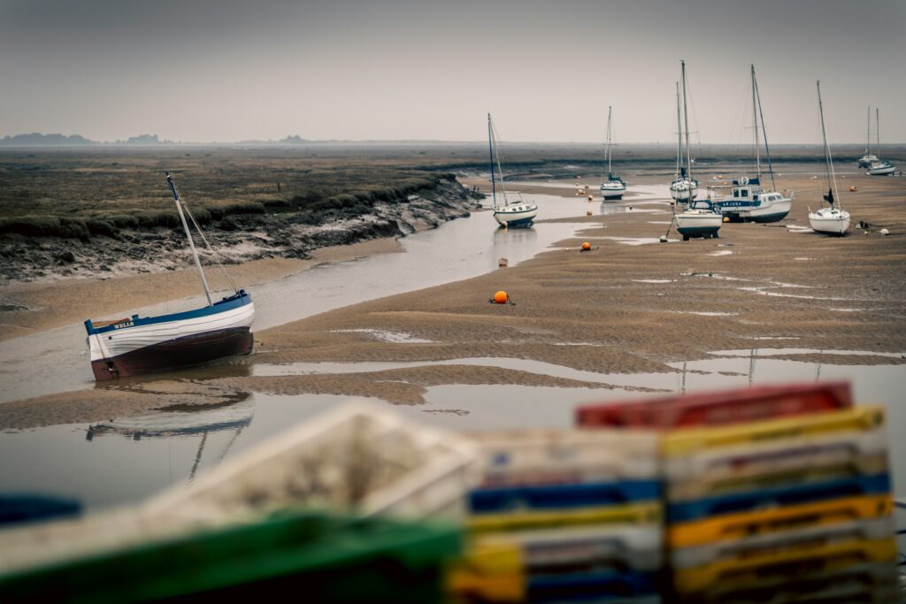
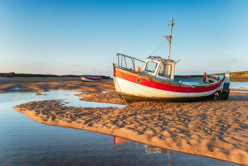
Overview: Enjoy glorious views over the marshes as you head off along sea defences towards the sand dunes and Gun Hill. This stretch features the famous and beautiful Holkham beach, continuing to the popular working fishing port of Wells-next-the-Sea. Here, you’ll experience a vibrant harbour atmosphere with plenty of local seafood to enjoy.
Highlights: Marsh views, Gun Hill, Holkham beach, Wells-next-the-Sea harbour.
Facilities: Accommodation, pubs, shops.
Distance: 10 miles / 16.09 km
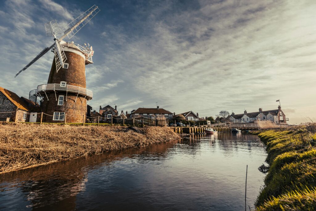
Overview: Today’s journey takes you through wonderful salt marshes with incredible views towards Blakeney Point. After navigating sea defences and marshlands, you’ll reach the quay in the pretty village of Blakeney, known for its charm and wildlife. Continue onwards to the quaint village of Cley, famous for its windmill and nature reserve.
Highlights: Salt marshes, Blakeney Point views, Blakeney quay.
Facilities: Parking, pub, eateries, public toilets.
Distance: 13 miles / 21 km
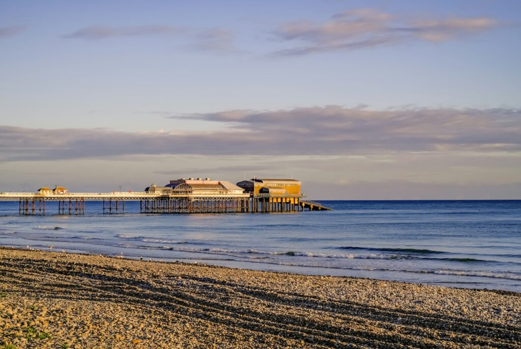
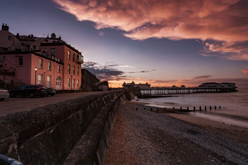
Overview: This day offers a variety of landscapes, starting with the picturesque Cley windmill and nature reserve. A significant portion of this walk is along shingle, which can be challenging but rewarding with its sense of remoteness. The route changes dramatically as you move from shingle to cliff tops, offering stunning views from Weybourne to Sheringham. You’ll finish in Cromer, feeling accomplished as you overlook the iconic pier.
Highlights: Cley windmill, nature reserve, shingle walk, cliff tops, Cromer pier.
Facilities: Accommodation, cafes, public transport.
Distance: 8 miles / 12.9 km
Overview: Begin your day with a walk along Cromer’s beach and over beautiful cliffs around Overstrand and Trimingham. As you approach Mundesley, you’ll move slightly inland before re-emerging onto the cliff face, offering views of the long stretch of sand leading to Mundesley beach.
Highlights: Cromer beach, cliffs of Overstrand and Trimingham, Mundesley beach.
Facilities: Parking, restaurants, shops.
Distance: 9.5 miles / 15.2 km
Overview: From Mundesley, walk along the beach below eroding cliffs and eventually ascend to the cliff tops, heading towards the iconic red and white lighthouse of Happisburgh. End your day on the golden sands of Sea Palling beach before a taxi transfers you to your accommodation for the night.
Highlights: Beach walk, eroding cliffs, Happisburgh lighthouse, Sea Palling beach.
Facilities: Pubs, restrooms, parking.
Distance: 12.5 miles / 20.1 km
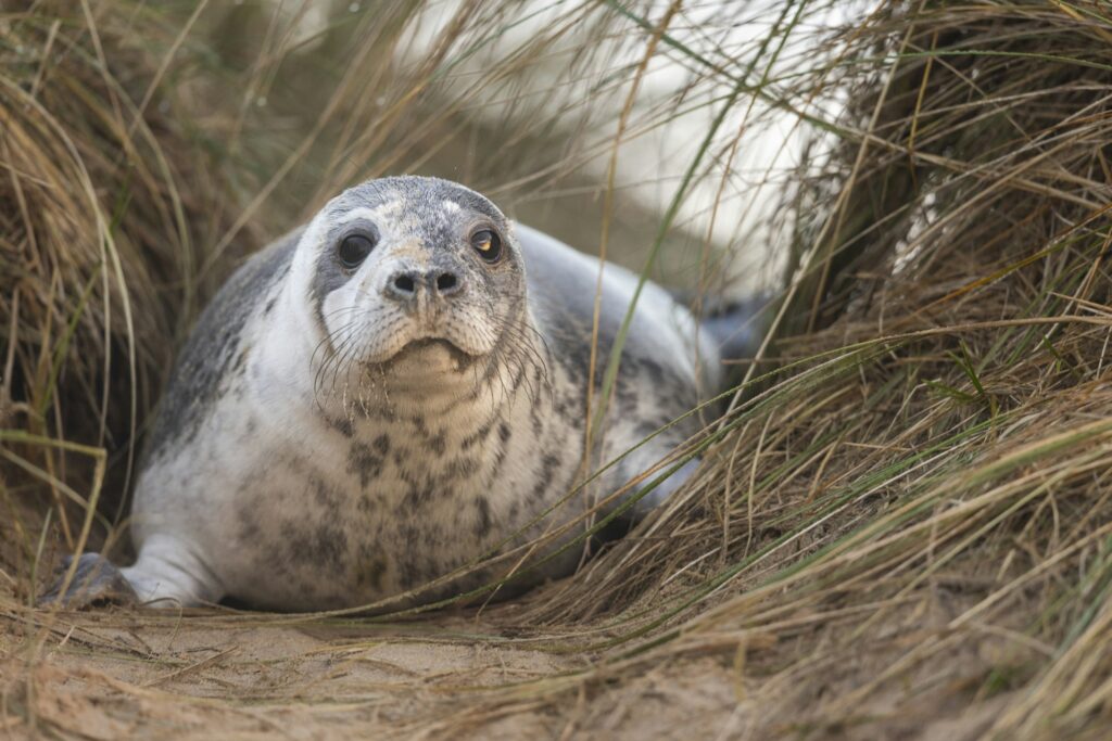
Overview: After a taxi transfer back to Sea Palling, walk behind the dunes of Horsey beach where you may spot some seals. Continue along the windswept SSSI dunes of Winterton, following the valley floor towards Hemsby beach, which has seen significant cliff erosion. Your day ends in Caister, a village with a rich history.
Highlights: Horsey beach dunes, seal spotting, Winterton dunes, Hemsby beach, Caister village.
Facilities: Accommodation, restaurants, shops.
Distance: 9 miles / 14.5 km
Overview: The final stretch takes you through the busy town of Great Yarmouth. Navigate out of the town along a busy road to reach the beautiful beach at Gorleston. Continue along the sandy shores until you arrive in Hopton-on-Sea, completing your walk. A taxi will transfer you back to your accommodation.
Highlights: Great Yarmouth, Gorleston beach, Hopton-on-Sea.
Facilities: Cafes, shops, public transport.
The Norfolk Coast Path offers stunning coastal scenery, charming villages, and rich wildlife. Our alternative shorter route covers 45 miles over three days, providing a condensed yet equally rewarding experience that highlights the essential features of this beautiful path.
DAY | STAGE | MILES (APPROX) | KM (APPROX) | TIME (APPROX) |
|---|---|---|---|---|
1 | Hunstanton to Burnham Overy Staithe | 16 | 25 | 7.5 |
2 | Burnham Overy Staithe to Blakeney | 14 | 22.5 | 6.5 |
3 | Blakeney to Cromer | 15 | 24 | 7 |
Distance: 16 miles / 25.75 km
Overview: Start your journey from Hunstanton, where you can walk to Holme-next-the-Sea either underneath or over the top of the cliffs, depending on the tide. When the tide is out, the beach route offers breathtaking views of the beautifully coloured cliffs. Thornham, a charming village with historic pubs, makes a perfect lunch stop. Continuing along marshland and intertidal mudflats, you’ll encounter plenty of birdlife and pass fishing shacks selling freshly dressed crab, whelks, and cockles. The path then leads through dunes and marshes towards Scolt Head, finally reaching Burnham Overy Staithe.
Highlights: Scenic cliffs, historic pubs in Thornham, birdwatching, fresh seafood, dunes, and marshes.
Facilities: Parking, cafes, restrooms, pubs.
Distance: 14 miles / 22.53 km
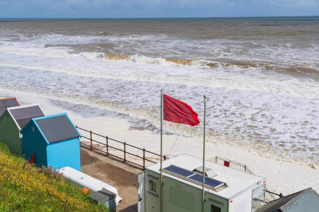
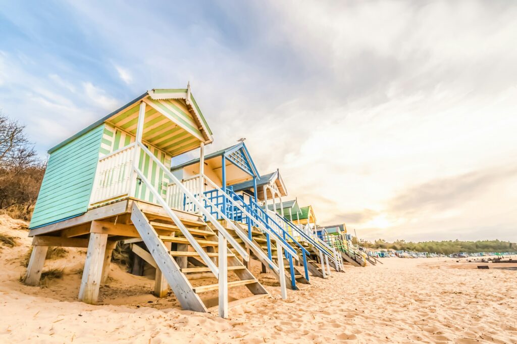
Overview: This beautiful section of the coastline features numerous beaches, including the renowned white sands of Holkham Beach. The combination of pine woods and dunes creates a spectacular setting, making it one of the best beaches in Britain on a nice day. After passing through Holkham Gap, the trail continues through pine woods and past a boating lake. Here, you can access the beach to admire the colourful beach huts. The route then leads you to Blakeney, a charming coastal village.
Highlights: Holkham Beach, pine woods, dunes, colourful beach huts, boating lake.
Facilities: Accommodation, pubs, shops, public transport.
Distance: 15 miles / 24.14 km
Overview: Enjoy another day of lovely coastal walking along salt marshes, with opportunities to sample local seafood in the quaint towns along the way. From Blakeney, you can see Blakeney Point, a 16 km long spit with a permanent seal colony and abundant birdlife. It’s possible to take boat trips to Blakeney Point or walk in via Cley, but a rest day would be required. Passing Cley-next-the-Sea, walk along a shingle ridge with wide coastal views towards Weybourne. The final stretch to Cromer follows the sea cliffs, offering a lunch stop in Sheringham, a town with a large beach and a proud fishing heritage. A gentle climb leads to Roman Camp and the highest point on the route, Beacon Hill (102 m). The walk concludes at Cromer pier, a fitting end to this seaside adventure.
Highlights: Salt marshes, Blakeney Point, local seafood, shingle ridge, sea cliffs, Sheringham, Roman Camp, Beacon Hill, Cromer pier.
Facilities: Accommodation, cafes, public transport, shops.
Route information, maps, distances, GPX files, and itineraries provided on this site are for general guidance only and should not be used as the sole means of navigation. It is your responsibility to verify your route and ensure you possess the appropriate skills and experience to safely undertake the Norfolk Coast Path.
Walking and engaging in other outdoor activities carry inherent risks, including the potential for personal injury or death. You must be aware of these risks and take responsibility for your own safety and actions.
For more detailed information on how to prepare and plan for your Norfolk Coast Path adventure, please refer to our comprehensive planning guide.

Explore the beauty of the Norfolk Coast Path with our comprehensive guide. Plan your journey, find the best accommodation, and discover local attractions. Norfolk Coast Path Adventures is your go-to resource for an unforgettable coastal adventure.